Cotton farmers restore riparian zones with amazing results
June 23, 2022
“It is an important habitat for local fauna including natural predators which are contributing towards our IPM.”

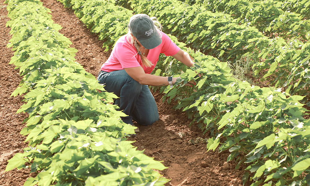
Cotton farmers Susie and Jamie Grant are seeing wildlife return to an important ecological community on their property.
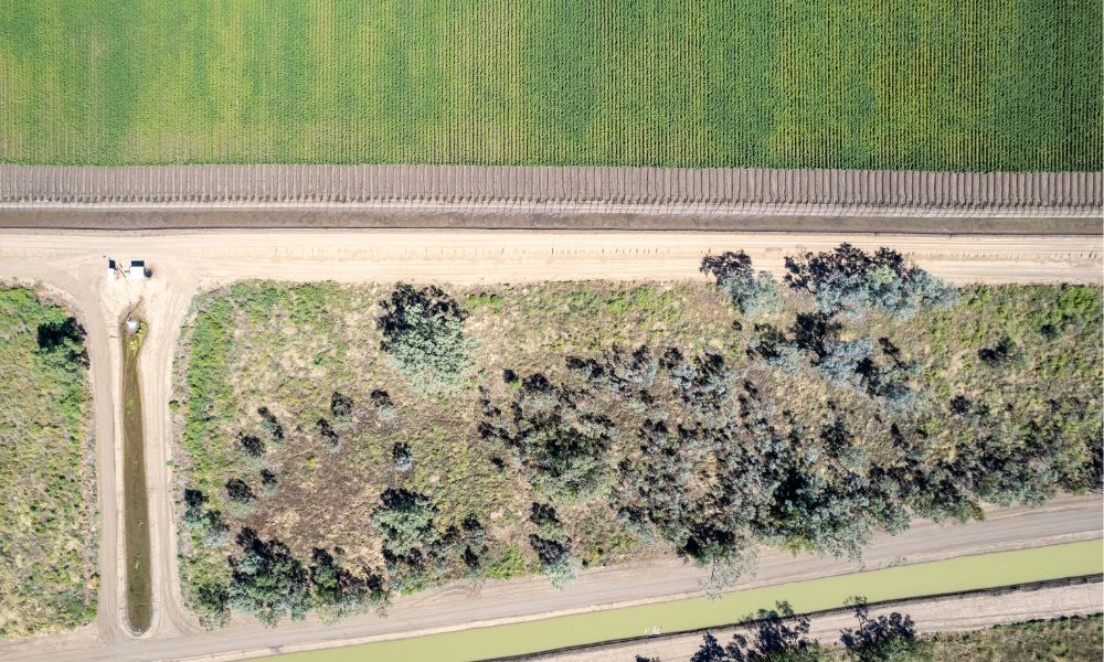
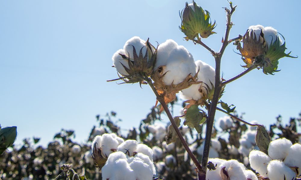
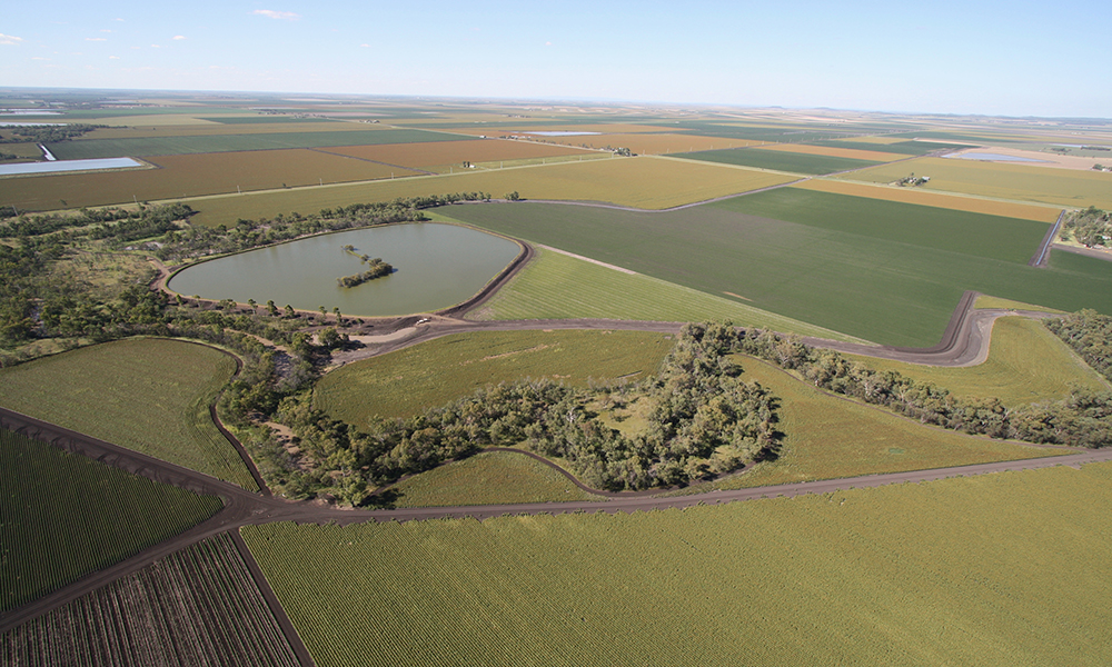
Since 2019, the Grants have been restoring 150ha of mainly riparian grasslands and woodlands along Jimbour Creek at ‘Wyalong’, on the Jimbour Brigalow flood plains near Dalby in south-east Queensland.
This area has become one of CottonInfo’s long-term vegetation monitoring sites.
The Grants believe implementing and continually improving best practice is essential for the sustainability of their farms and business, whether it’s pesticide management, work health and safety or riparian restoration.
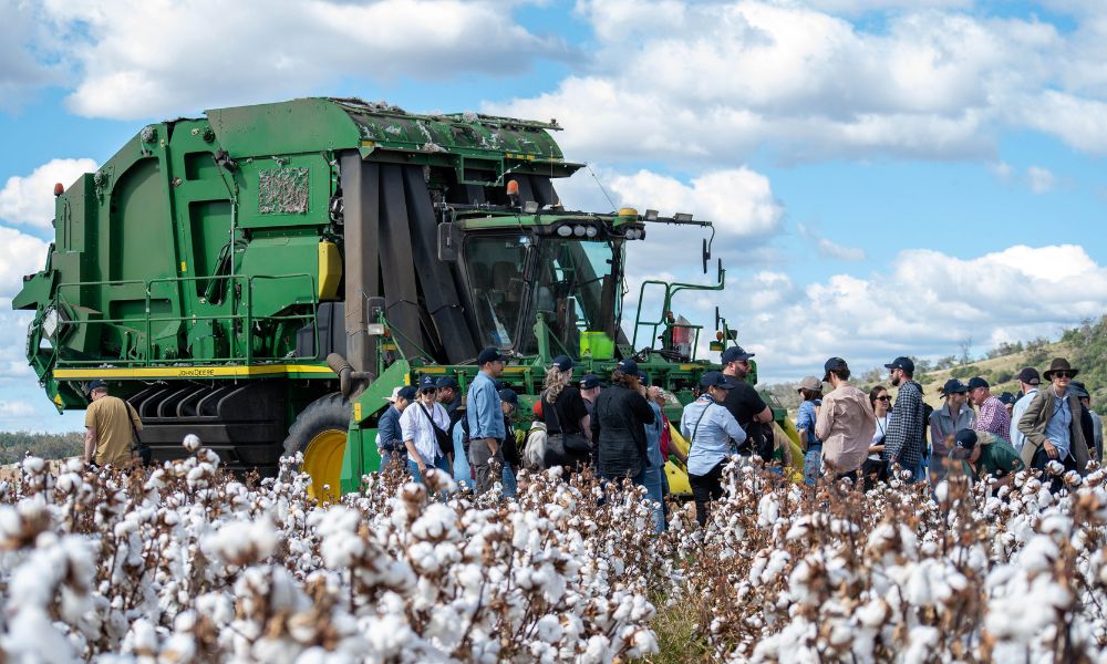
They’ve participated in the myBMP program for many years, achieving certification in 2016, and are signed on to the Better Cotton program.
Jamie says the integrated pest management (IPM) benefits they receive from the Jimbour Creek corridor are evident in that they have been able to harvest their refuge crops adjacent to the creek, but not surrounding fields further away.
“Jimbour Creek runs east to west, connecting the eastern Bunya Mountain foothills with the Condamine River, which provides an important corridor for fauna movement across the plains,” Jamie said.
“It is an important habitat for local fauna including natural predators which are contributing towards our IPM.”
Jamie says the restoration of Jimbour Creek is a long-term project and they didn’t expect changes overnight.
“With the support of industry groups such as CottonInfo and frameworks like myBMP, we were confident it could be achieved slowly but surely,” he said.
Initial work included an area-wide feral pig management plan and aerial shooting. Weed control has begun to increase native groundcover, reduce erosion and improve habitats for beneficial insects.
Jamie says after 10 years of drought, the better season is also doing wonders to the country on its own.
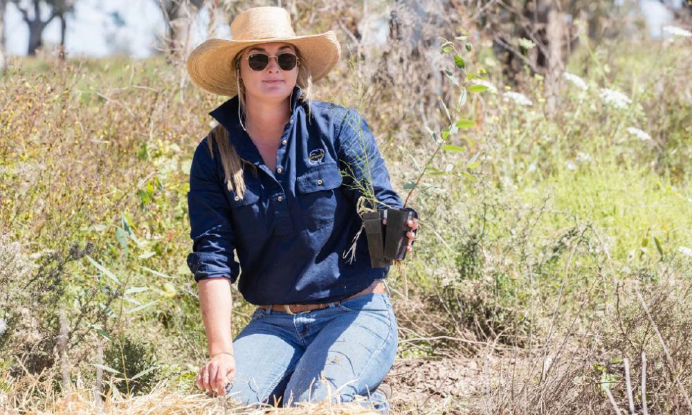
To assist in planning the regeneration process, CRDC supported further ecological surveys, which included a surprise koala sighting and evidence of their movement through the grasslands.
“This was a rare sighting but hopefully it will become more common,” Jamie said.
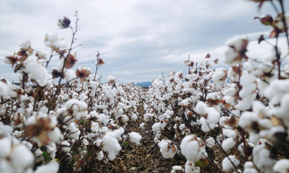
The regeneration site is listed as a threatened grassland community on alluvial black clays. A detailed floristic survey recorded no shrubs or trees (hence a grassland community) made up of 19 native species of grasses and 31 native forbs or other ground cover species. 20 per cent of the plot was non-native exotic weeds.
“This has provided insight into the seedbank and the flora that did and does still naturally exist in these communities, so the ecosystem can be restored to its natural state,” CRDC’s Stacey Vogel said.
Jamie agrees, saying the surveys provide knowledge to allow refinement of their management practices to encourage natural regeneration of native grasses and trees.
“The surveys have added to the information and knowledge they are accumulating about the landscape and its condition, and given us a starting point we can use to improve on,” he said.
“Previous grazing, drought and weeds washed downstream have taken their toll.
“Improvement through restoration of this corridor is a win-win for landholders, biodiversity and the landscape – and that’s the aim of this project.”
This story first appeared in the winter edition of CRDCs Spotlight magazine. To read more, click here.
Since 2019, the Grants have been restoring 150ha of mainly riparian grasslands and woodlands along Jimbour Creek at ‘Wyalong’, on the Jimbour Brigalow flood plains near Dalby in south-east Queensland.
This area has become one of CottonInfo’s long-term vegetation monitoring sites.
The Grants believe implementing and continually improving best practice is essential for the sustainability of their farms and business, whether it’s pesticide management, work health and safety or riparian restoration.
They’ve participated in the myBMP program for many years, achieving certification in 2016, and are signed on to the Better Cotton program.
Jamie says the integrated pest management (IPM) benefits they receive from the Jimbour Creek corridor are evident in that they have been able to harvest their refuge crops adjacent to the creek, but not surrounding fields further away.
“Jimbour Creek runs east to west, connecting the eastern Bunya Mountain foothills with the Condamine River, which provides an important corridor for fauna movement across the plains,” Jamie said.
“It is an important habitat for local fauna including natural predators which are contributing towards our IPM.”
Jamie says the restoration of Jimbour Creek is a long-term project and they didn’t expect changes overnight.
“With the support of industry groups such as CottonInfo and frameworks like myBMP, we were confident it could be achieved slowly but surely,” he said.
Initial work included an area-wide feral pig management plan and aerial shooting. Weed control has begun to increase native groundcover, reduce erosion and improve habitats for beneficial insects.
Jamie says after 10 years of drought, the better season is also doing wonders to the country on its own.
To assist in planning the regeneration process, CRDC supported further ecological surveys, which included a surprise koala sighting and evidence of their movement through the grasslands.
“This was a rare sighting but hopefully it will become more common,” Jamie said.
The regeneration site is listed as a threatened grassland community on alluvial black clays. A detailed floristic survey recorded no shrubs or trees (hence a grassland community) made up of 19 native species of grasses and 31 native forbs or other ground cover species. 20 per cent of the plot was non-native exotic weeds.
“This has provided insight into the seedbank and the flora that did and does still naturally exist in these communities, so the ecosystem can be restored to its natural state,” CRDC’s Stacey Vogel said.
Jamie agrees, saying the surveys provide knowledge to allow refinement of their management practices to encourage natural regeneration of native grasses and trees.
“The surveys have added to the information and knowledge they are accumulating about the landscape and its condition, and given us a starting point we can use to improve on,” he said.
“Previous grazing, drought and weeds washed downstream have taken their toll.
“Improvement through restoration of this corridor is a win-win for landholders, biodiversity and the landscape – and that’s the aim of this project.”
This story first appeared in the winter edition of CRDCs Spotlight magazine. To read more, click here.


Recent Comments